 Released
 Dataset
Stress Map Iceland 2016
Cite as:
Ziegler, Moritz; Rajabi, Mojtaba; Hersir, Gylfi; Ágústsson, Kristján; Árnadóttir, Sigurveig; Zang, Arno; Bruhn, David; Heidbach, Oliver (2016): Stress Map Iceland 2016. GFZ Data Services. https://doi.org/10.5880/WSM.Iceland2016Status
I N R E V I E W : Ziegler, Moritz; Rajabi, Mojtaba; Hersir, Gylfi; Ágústsson, Kristján; Árnadóttir, Sigurveig; Zang, Arno; Bruhn, David; Heidbach, Oliver (2016): Stress Map Iceland 2016. GFZ Data Services. https://doi.org/10.5880/WSM.Iceland2016 Abstract
The stress map of Iceland shows the orientation of the current maximum horizontal stress (SHmax) in the earth's crust. Assuming that the vertical stress (SV) is a principal stress, SHmax defines the orientation of the 3D stress tensor; the minimum horizontal stress Shmin is than perpendicular to SHmax. In the stress map the SHmax orientations are represented as lines of different lengths. The length of the line is a measure of the quality of data and the symbol shows the stress indicator and the color the stress regime. Data with E-Quality are shown without additional information as dots on the map. The stress data are freely available and part of the World Stress Map (WSM) project. For more information about the data and criteria of data analysis and quality mapping are plotted along the WSM website at http://www.world-stress-map.org. Additional Information
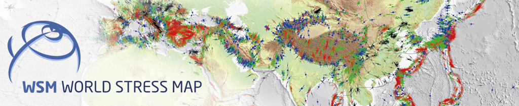
The World Stress Map (WSM) is a global compilation of information on the crustal present-day stress field. It is a collaborative project between academia and industry that aims to characterize the stress pattern and to understand the stress sources. It commenced in 1986 as a project of the International Lithosphere Program under the leadership of Mary-Lou Zoback. From 1995-2008 it was a project of the Heidelberg Academy of Sciences and Humanities headed first by Karl Fuchs and then by Friedemann Wenzel. Since 2009 the WSM is maintained at the GFZ German Research Centre for Geosciences and since 2012 the WSM is a member of the ICSU World Data System. All stress information is analysed and compiled in a standardized format and quality-ranked for reliability and comparability on a global scale.Authors
- Ziegler, Moritz
 ;GFZ German Research Centre for Geosciences, Potsdam, Germany
 - Rajabi, Mojtaba;Australian School of Petroleum, The University of Adelaide, Adelaide, Australia
- Hersir, Gylfi;Iceland GeoSurvey (ÍSOR), Reykjavík, Iceland
- Ágústsson, Kristján;Iceland GeoSurvey (ÍSOR), Reykjavík, Iceland
- Árnadóttir, Sigurveig;Iceland GeoSurvey (ÍSOR), Reykjavík, Iceland
- Zang, Arno;GFZ German Research Centre for Geosciences, Potsdam, Germany
- Bruhn, David;GFZ German Research Centre for Geosciences, Potsdam, Germany
- Heidbach, Oliver;GFZ German Research Centre for Geosciences, Potsdam, Germany
Contact
- Heidbach, Oliver; GFZ German Research Center for Geosciences, Potsdam, Germany; ➦
Keywords
crustal stress, in situ stress, tectonic stress, crustal stress pattern, mid ocean ridgeGCMD Science Keywords
- EARTH SCIENCE > OCEANS > MARINE VOLCANISM > MID-OCEAN RIDGES
- EARTH SCIENCE > SOLID EARTH > TECTONICS > PLATE TECTONICS > LITHOSPHERIC PLATE MOTION > PLATE MOTION DIRECTION
- EARTH SCIENCE > SOLID EARTH > TECTONICS > PLATE TECTONICS > PLATE BOUNDARIES
- EARTH SCIENCE > SOLID EARTH > TECTONICS > PLATE TECTONICS > STRESS
- EARTH SCIENCE SERVICES > DATA MANAGEMENT/DATA HANDLING > DATA SEARCH AND RETRIEVAL
Location
Please, click on markers, line , bounding boxes or the list below to see related details in popup.
To explore to full geographic extent of the map please click and drag the map.
 Files
Files